
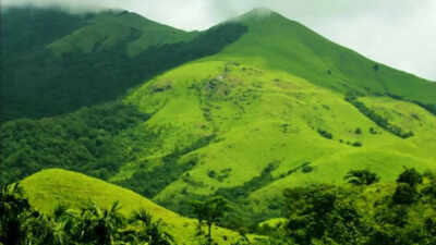
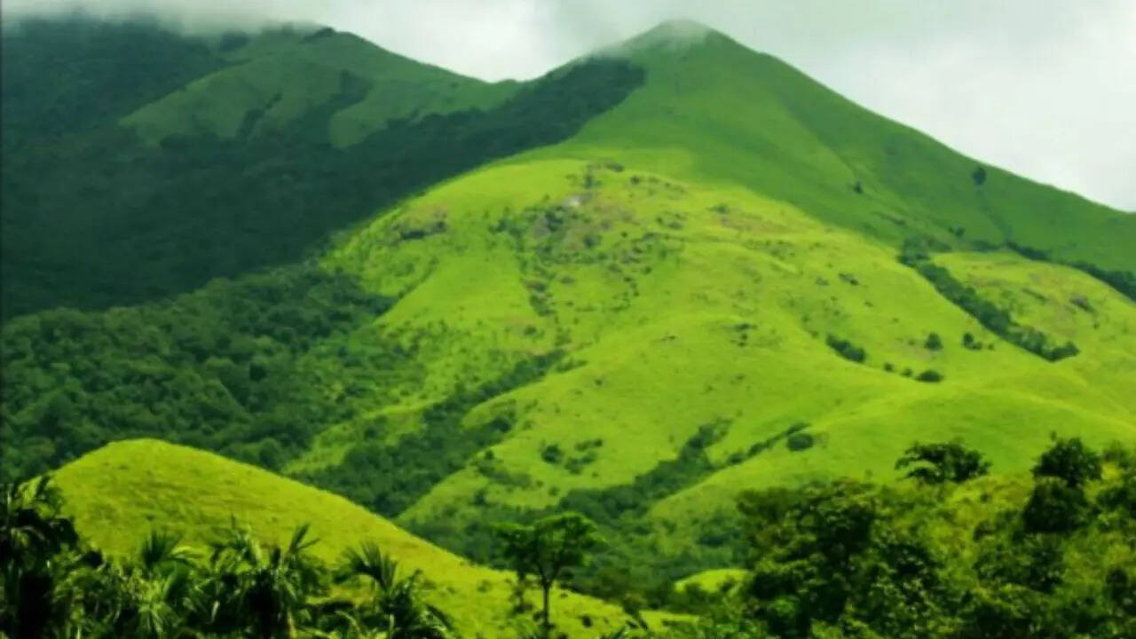
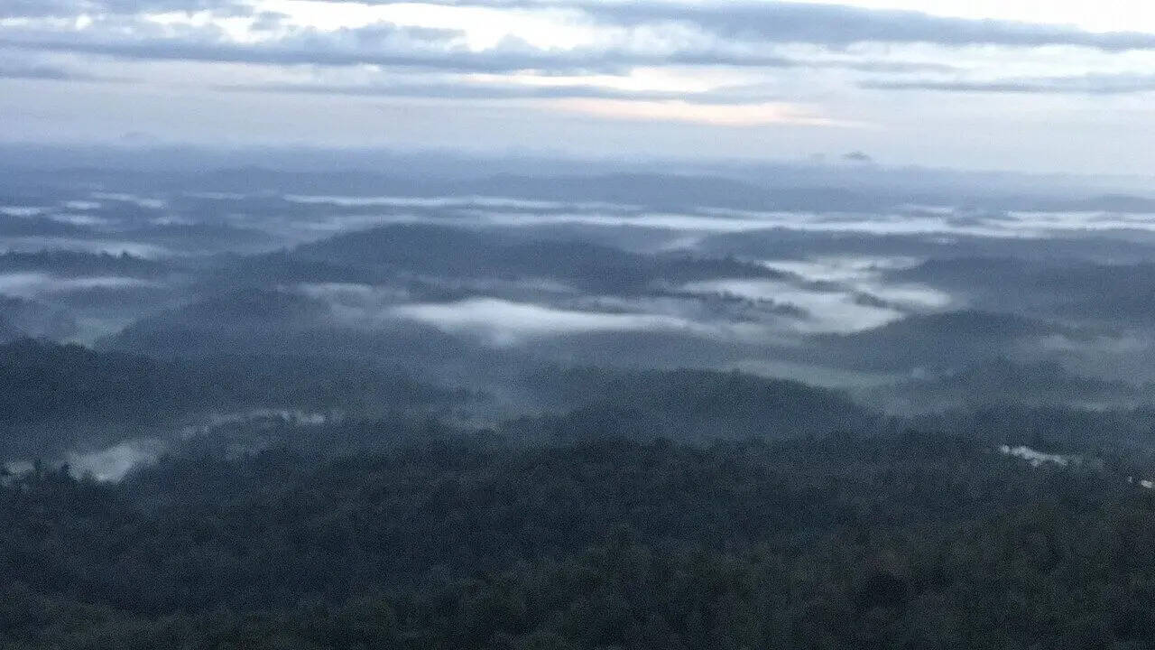
In the hills of southern Karnataka, mornings in Coorg often begin with drifting mist, damp roads, and the smell of coffee drying somewhere nearby. The district, officially called Kodagu, sits along the Western Ghats close to the Kerala border, shaped by thick forests, slopes, and long stretches of plantation land. Travellers have spent decades referring to it as the “Scotland of India”, a comparison that appears repeatedly in tourism literature and travel writing. The phrase usually points to the cool weather, rolling green terrain, and cloudy landscapes that stand apart from much of southern India’s warmer plains. Even so, Coorg does not resemble Scotland in any exact geographical sense. The nickname survives mostly because visitors found familiar moods in its hills, rain, and quieter pace.
Why Coorg is called the Scotland of India
pc: wikipedia
The comparison traces back to the colonial period, when British officials travelling through the Western Ghats reportedly drew parallels between Coorg’s highland scenery and parts of Scotland. According to reports discussing Coorg’s tourism identity, the region’s layered hills, dense greenery, and cooler climate helped establish that association over time. The nickname gradually became embedded in guidebooks and state tourism promotion rather than emerging from any formal designation.As per a report published in ResearchGate titled “Coorg: The Scotland of India”, mist-covered valleys and long monsoon seasons also contributed to the image. During the rainy months, visibility across the hills often changes hour by hour. Plantation roads disappear into fog and then reopen again within minutes. That shifting atmosphere became part of how travellers described the district.The climate differs from that of many nearby parts of Karnataka. Coorg receives heavy rainfall because of its position along the Western Ghats, and temperatures usually remain milder through much of the year. Coffee cultivation expanded significantly under British influence, and plantations still dominate large sections of the district. Their presence shapes both the economy and the visual identity of the region.
What makes Coorg famous: Coffee, culture and Western Ghats wildlife
pc: wikipedia
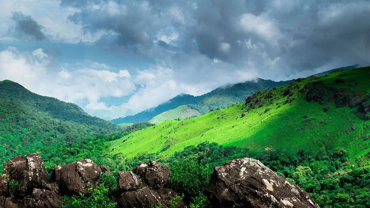
Coffee remains closely tied to Coorg’s reputation. Estates spread across Madikeri, Virajpet and Somwarpet, producing Arabica and Robusta varieties that are exported to different parts of India and abroad. Pepper, cardamom and other spices are often grown alongside the coffee plants beneath shade trees.The district is also associated with Kodava culture, which differs in several ways from neighbouring communities in Karnataka. According to tourism material and regional reports, Traditional attire, local cuisine and family-based ancestral homes known as ainmanes continue to hold cultural importance in parts of the region. Kodava cooking frequently uses pork, rice preparations and forest ingredients that developed through the area’s agricultural history.Wildlife tourism forms another part of Coorg’s identity. Forest corridors linked to the Western Ghats support elephants, gaur, deer and several bird species. Areas near Nagarhole National Park attract visitors interested in safaris and forest stays, though sightings vary widely depending on season and weather conditions.
Top tourist attractions in Coorg: From Madikeri to Abbey Falls
pc: wikipedia
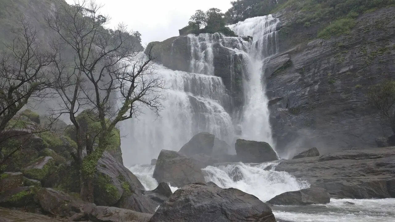
1. MadikeriMadikeri functions as the district headquarters and is usually the first stop for visitors entering Coorg. The town sits across elevated terrain with markets, old colonial-era structures and viewpoints overlooking the hills. Raja’s Seat remains one of the better-known spots, especially during evenings when clouds move across the valley below.Madikeri Fort reflects several phases of local history, including periods under Kodagu rulers and later British control. Parts of the structure now house administrative offices and a small museum.2. Abbey FallsA short drive from Madikeri leads to Abbey Falls, where water moves through coffee plantations before dropping into a rocky gorge. The flow becomes much stronger during and immediately after the monsoon season. In drier months, the falls appear narrower and calmer.Suspension bridges and viewing areas attract visitors throughout the year, though the surrounding pathways can become slippery during heavy rain.3. TalacauveryTalacauvery is regarded as the source of the River Cauvery and holds religious significance in southern India. The site lies in the Brahmagiri hills near the Kerala border. Pilgrims visit the temple complex throughout the year, while tourists often stop for the elevated views across the surrounding ranges.The road climbs steadily toward the hills, and weather conditions can change rapidly near the summit. Fog frequently reduces visibility during monsoon periods.4. Dubare elephant campLocated near the banks of the River Cauvery, Dubare developed around forest camps that once trained elephants used in logging operations. The area later shifted toward tourism and wildlife activity. Visitors sometimes take short coracle rides across the river, depending on water levels.Elephant interactions remain one of the main attractions, though schedules vary seasonally.5. Nagarhole National ParkPart of the larger Nilgiri Biosphere Reserve, Nagarhole contains forest landscapes stretching across Karnataka and Kerala. Jeep safaris and boat rides operate in designated zones. Tigers live within the reserve, though sightings remain uncommon compared with deer, elephants or wild boar. The forests also play a role in linking wildlife habitats across the Western Ghats ecosystem.
How to reach Coorg from Bengaluru, Mysuru and Mangaluru
pc: wikipedia
- Coorg does not have its own airport or railway station, so most journeys involve road travel from nearby cities. Travellers usually arrive through Mysuru, Mangaluru or Bengaluru before continuing by car or bus into the hills.
- The nearest major airport is in Mangaluru, while Mysuru also serves as a common access point because of its road connections. Bengaluru remains the most frequent starting location for longer domestic and international travel links.
- Road journeys form a large part of the Coorg experience itself. Routes pass through forest stretches, plantation belts and winding hill sections. During the monsoon season, heavy rainfall occasionally affects visibility and travel speed, particularly on interior roads.
- Public buses connect Coorg with several Karnataka cities, though many visitors prefer private taxis or self-driven vehicles because smaller attractions are spread across different parts of the district.